In MiTS, you are allowed to import survey points from Google Earth which you can follow step by step here. As you can see, we can define the survey area in an irregular shape. However, the current limitation we have in the MiTS 2 software is that the imported survey points include the rectangular-shaped area that originated from the origin. In order for you to import survey points with irregular polygon shapes, you will need to follow step by step mentioned in this blogpost.
- To import survey points within the irregular polygon, first define the boundary.
- In the Input tab, select Boundary and define your boundary area following the boundary that was drawn on the GEarth tracing image. Turn off the Snap function to avoid the points of the boundary being auto-located during defining the boundary area. Untick the Show On Top in the Image Tracing tab to show the defined boundary on the GEarth Tracing image.

- Untick the Show Tracing in the Image Tracing tab to hide the GEarth tracing image.

- Delete the survey points out of the boundary. To select the survey points, go to;
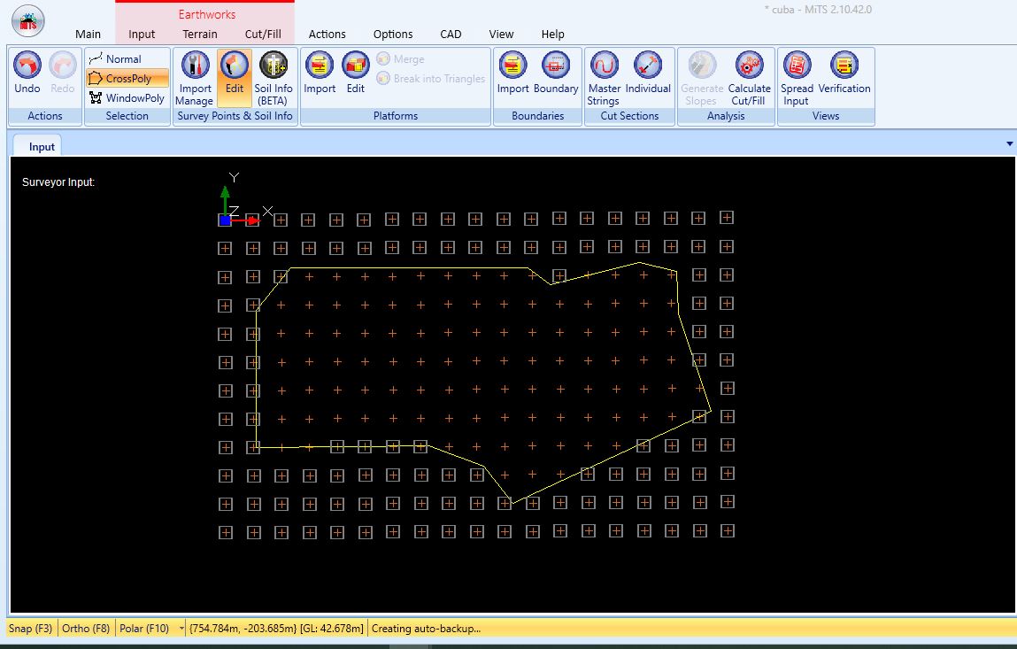
- Input >> Click Edit from “Survey Points & Soil Info” window >> Click CrossPoly in “Selection” window

- To select the survey points out of the boundary area, identify the first point of the CrossPoly out of the survey points area. Then, draw the line following the boundary line first. Before the last point reaches the first point on the boundary line, drag the line outside of the boundary area and draw the line outside of the survey points area until it reaches the first point. Click the right button on the mouse to complete the selection.

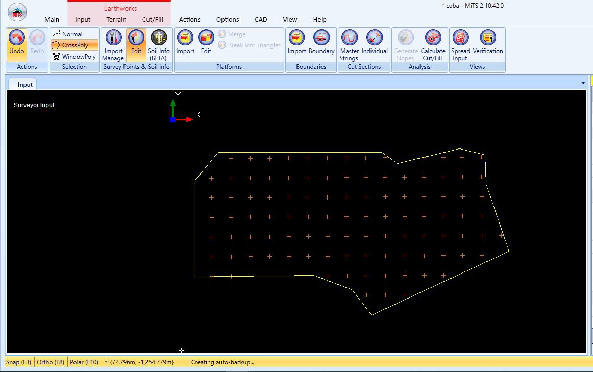
- Delete the selected survey points by pressing the Delete key.

I’m the Benevolent Dictator for Life for MiTS Software cum Editor of this website. Read more here.
You can also contact me at soonhui@mes100.com


